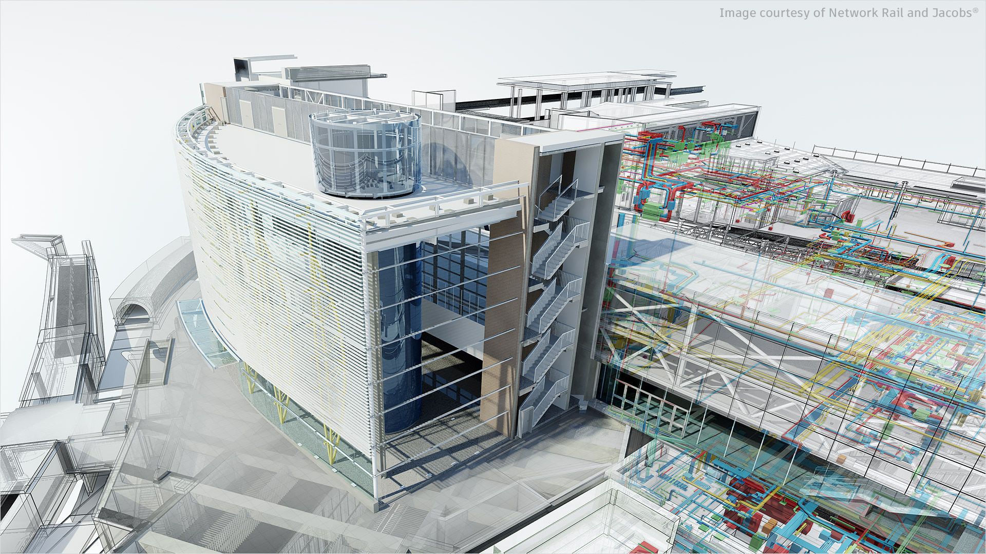
Civil, Architecture, Infrastructure and BIM
Autodesk provides a suite of software products specifically tailored for the Architecture, Engineering, and Construction (AEC), civil engineering and infrastructure design software solutions to support various aspects of civil engineering projects, including road and highway design, site development, land development, and more. These software solutions help professionals in these fields design, analyze, document, and manage building and infrastructure projects efficiently.
As Autodesk ATC /ALP we provide various courses and training resources to help users learn how to use their software effectively. Autodesk offers a range of civil engineering and infrastructure design software solutions to support various aspects of civil engineering projects, including road and highway design, site development, land development, and more. Here are some of the notable Autodesk civil software products: Autodesk offers various tools accessible to professionals and businesses.
We are Autodesk ALP (Authorized Learning Partner) and ATC (Authorized Training Center) to provide training and educational resources related to Autodesk software. We have been authorized by Autodesk to deliver Autodesk-certified training and education. We specialize in offering training and educational programs related to Autodesk software products. We provide courses that lead to Autodesk certification, helping individuals gain proficiency in using Autodesk tools for various purposes, including design, engineering, and more.
We offer instructor-led training programs, which can be in-person or online. We follow Autodesk's curriculum and use official training materials to ensure high-quality instruction.
We also offer training that prepares individuals for Autodesk certification exams. Earning an Autodesk certification can validate your skills and expertise in using Autodesk software. We cater to students, professionals, and organizations looking to acquire or improve their skills in Autodesk software.
As Autodesk ALP and ATC we play crucial roles in providing training and educational resources to individuals and organizations looking to harness the power of Autodesk software. Whether you're a student looking to acquire new skills, a professional aiming to improve your proficiency, or a company seeking to train your employees, both ALPs and ATCs can help you achieve your Autodesk software training goals. It's essential to choose the type of partner that best aligns with your specific needs and preferences.
